


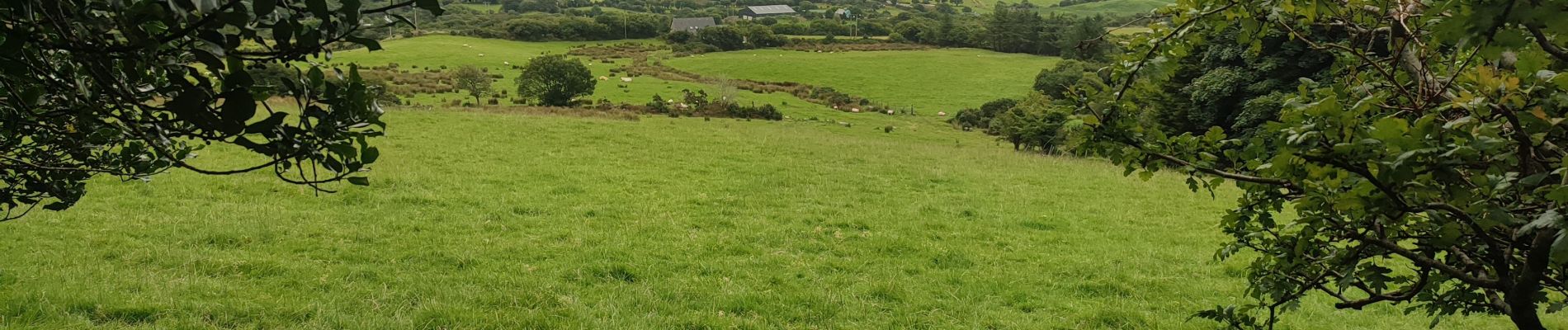
Hungry Hill

Geert H.
User


3h51
Difficulty : Difficult

FREE GPS app for hiking
 SityTrail
IGN / Geographical institutes
SityTrail Plus
The world is yours!
About
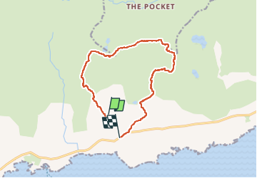
Trail Walking of 12.3 km to be discovered at Unknown, County Cork, West Cork. This trail is proposed by Geert H..
Description
Beware, this trail is impossible to follow when the visibility is poor. The markings uphill to the top are barely visible red paint markers or stone cairns. The path from the top downhill is not marked and was followed by following the "path" on the openstreet map and GPS. But it is adventurous to say at least.
Photos


Positioning
Comments